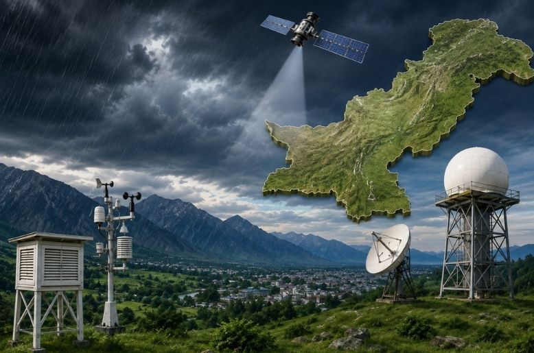
Have you ever wondered how meteorologists know that rain is likely to fall in Islamabad, Lahore, Karachi or other parts of Pakistan, even before clouds appear in the sky?
Predicting rain is not simply a matter of looking at clouds. Weather forecasting involves a combination of satellite images, radar observations, weather stations, computer models, atmospheric measurements and the expertise of meteorologists.
In Pakistan, these tools help the Pakistan Meteorological Department (PMD) monitor weather systems and issue forecasts, warnings and alerts for rain, thunderstorms, floods and other weather events.
How does Pakistan predict rain?
Rain develops when several atmospheric conditions come together, including sufficient moisture, rising air and atmospheric instability. Meteorologists monitor these conditions to determine whether clouds are likely to develop and produce precipitation.
The forecasting process generally begins with collecting large amounts of weather data.
Weather stations across Pakistan record information such as:
- Temperature
- Atmospheric pressure
- Humidity
- Wind speed and direction
- Rainfall
- Visibility
- Other atmospheric conditions
This information gives meteorologists a picture of what is happening near the Earth’s surface.
But surface observations alone are not enough to predict rain.
Satellites help meteorologists watch clouds and weather systems
Weather satellites provide a much broader view of atmospheric conditions.
Satellite images can show the development and movement of cloud systems over Pakistan and surrounding regions. They can also help meteorologists monitor large weather systems approaching from the Arabian Sea, Bay of Bengal, Afghanistan, Iran and other areas.
This is particularly important for Pakistan because weather systems can travel across national borders before affecting the country.
For example, moisture from the Arabian Sea can contribute to monsoon rainfall, while weather systems moving in from western regions can bring rain and thunderstorms during other parts of the year.
Satellite observations therefore help forecasters understand where clouds and weather systems are located and how they are moving.
Weather radar provides a closer look at rain
Weather radar is another important tool for forecasting rainfall.
Unlike a satellite, which provides a large-scale view from space, radar can provide detailed information about precipitation in and around a particular area.
A weather radar sends out radio waves. When those waves encounter raindrops, hail or other particles in the atmosphere, some of the energy is reflected back to the radar.
Meteorologists can use these signals to estimate:
- Where rain is occurring
- How intense the rainfall is
- Which direction the rain is moving
- Whether a storm is strengthening or weakening
This makes radar particularly useful for short-term forecasts, often called nowcasting.
For example, if radar shows a strong rain cell moving toward a city, meteorologists can issue warnings that heavy rain or thunderstorms may arrive soon.
What are computer weather models?
One of the biggest changes in modern weather forecasting has been the use of numerical weather prediction models.
These are sophisticated computer systems that use mathematical equations to simulate how the atmosphere behaves.
The models take huge amounts of information about the current state of the atmosphere—including temperature, pressure, humidity and winds—and calculate how those conditions could change over time.
The result is a series of predictions showing how weather conditions may develop over the coming hours and days.
Weather models can forecast factors such as:
- Rainfall
- Temperature
- Wind
- Atmospheric pressure
- Humidity
- Cloud development
- Storm systems
However, computer models do not produce a guaranteed forecast. They are predictions based on the information available and the mathematical representation of an extremely complicated atmosphere.
Why does the rain forecast sometimes change?
This is one of the most common questions about weather forecasts.
You may see a forecast showing a high chance of rain one day, only for the probability to fall later or vice versa.
That happens because the atmosphere is constantly changing.
Small differences in temperature, humidity, wind or atmospheric pressure can influence how and where clouds develop.
Computer models also receive new observations as time passes. When new data becomes available, the models run again and may produce a different forecast.
This is why a rain forecast for five or seven days from now is generally less certain than a forecast for the next few hours.
What does “chance of rain” actually mean?
A percentage shown in a weather app can sometimes be misunderstood.
If a forecast says there is a 70% chance of rain, it does not necessarily mean that rain will fall continuously for 70% of the day or that 70% of the city will definitely receive rain.
The exact interpretation can vary depending on the forecasting system, but generally the percentage represents the likelihood of measurable precipitation occurring at a particular location or area during a specified period.
Rain can also be highly localised.
For example, one neighbourhood may receive a heavy downpour while another part of the same city remains relatively dry.
This is especially common with thunderstorms, which can develop over small areas.
Why is predicting monsoon rain particularly challenging?
Forecasting Pakistan’s monsoon weather can be difficult because the system involves several interacting atmospheric factors.
The South Asian monsoon brings large amounts of moisture into the region. Its behaviour can be influenced by atmospheric pressure patterns, winds, moisture transport and weather systems developing over the Arabian Sea and Bay of Bengal.
Monsoon thunderstorms can also develop rapidly.
A forecast may correctly identify that a region is at risk of rain while being less certain about exactly which neighbourhoods will receive the heaviest rainfall.
This is why meteorologists often issue broader forecasts for areas rather than guaranteeing rain at a specific street or location.
Why can one city receive heavy rain while another nearby city gets little?
Rainfall is not evenly distributed.
Two locations relatively close to each other can experience completely different conditions because of local geography and the development of individual rain clouds.
Mountains, for example, can force moist air upward, encouraging cloud formation and rainfall.
In urban areas, local heating and other factors can also influence thunderstorms.
During intense summer weather, individual storm cells may form, move and disappear within a relatively short period.
As a result, a forecast can indicate a strong possibility of rain across a region even though not every location within that region receives rainfall.
What is “nowcasting”?
When meteorologists predict weather over the next few minutes or hours, the process is often referred to as nowcasting.
Nowcasting relies heavily on real-time observations, particularly radar and satellite data.
It can be especially useful for rapidly developing thunderstorms and heavy rainfall.
For example, radar may detect a developing storm and show that it is moving toward a populated area. Forecasters can then provide a short-term warning to help people prepare.
Nowcasting is generally more useful for answering questions such as “Will it rain in the next hour?” than for predicting exactly what the weather will be weeks in advance.
How accurate are weather forecasts?
Forecast accuracy depends heavily on how far ahead the prediction is made and the type of weather being forecast.
Short-term forecasts can be highly useful when there is good observational data and a relatively well-defined weather system.
Longer-range forecasts become increasingly uncertain because small errors in the initial atmospheric conditions can grow over time.
This does not mean a seven-day forecast is useless. It can provide valuable information about the general weather pattern and potential risks, but it should not be interpreted with the same confidence as a forecast for the next few hours.
Why does rain sometimes happen when the forecast says it won’t?
Weather forecasts are probabilities, not promises.
A forecast may indicate a low probability of rain, but a small storm can still develop unexpectedly.
Likewise, a forecast may show a high probability of rainfall while a particular neighbourhood remains dry because the rain falls elsewhere.
This is particularly relevant during thunderstorms and monsoon conditions, where rainfall can be highly variable over short distances.
How does PMD issue rain warnings?
The Pakistan Meteorological Department monitors weather conditions and uses observational data, forecasting models and meteorological analysis to assess potential weather hazards.
When significant weather is expected, PMD can issue forecasts, advisories and warnings covering events such as heavy rainfall, thunderstorms, flash floods, urban flooding, heatwaves and other hazards.
These warnings are particularly important during the monsoon season, when heavy rainfall can rapidly increase the risk of flooding in vulnerable areas.
From clouds to a rain forecast
So, the next time your weather app says rain is coming, remember that the prediction is the result of a complex process.
Meteorologists combine observations from weather stations, satellites and radar with powerful computer models and professional analysis.
The data helps answer several important questions:
Where is moisture located?
How are winds moving?
Is the atmosphere unstable enough for clouds to develop?
Are storms already forming?
Where are those storms heading?
By combining these clues, forecasters can estimate where and when rain is most likely.
But because the atmosphere is constantly changing, rainfall can never be predicted with absolute certainty, particularly several days in advance.
That is why a weather forecast is best understood as the most likely outcome based on the information available at that time, rather than a guarantee of exactly what will happen.
Rain prediction in Pakistan relies on a combination of ground observations, weather satellites, radar, atmospheric measurements and numerical weather prediction models.
The closer the forecast is to the present, the more real-time observations can be incorporated. Even then, local thunderstorms and rapidly changing monsoon conditions can make exact rainfall predictions difficult.
So, when you see a rain forecast on your phone, there is a lot more happening behind that simple percentage than meets the eye.
Also read: Weather alert: New rain spell expected from August 27